Mapping the Potential Risk to Marine Conservation Features from Recreational Activities
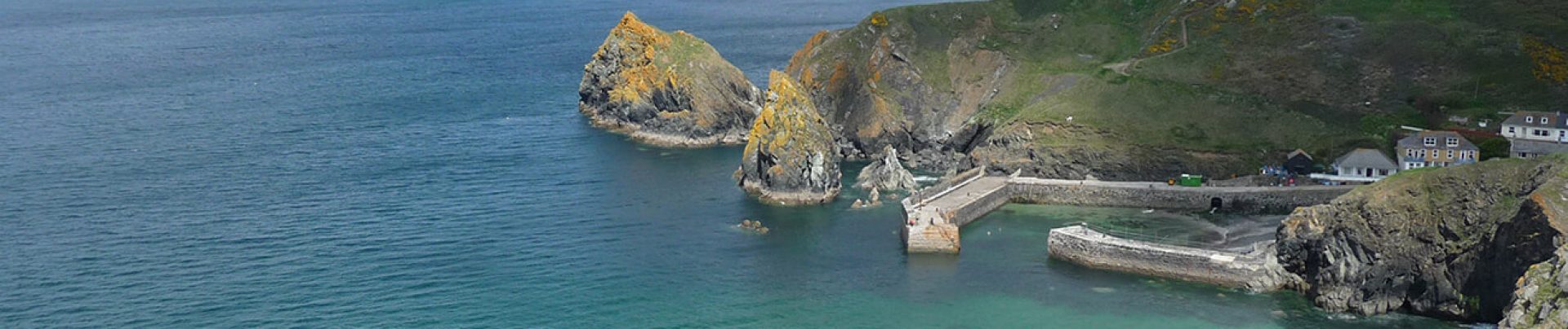
The Wales Activity Mapping (WAM) database, developed by Pembrokeshire Coastal Forum (PCF) in 2008, provides spatial data on the type, amount and distribution of individual recreation activities on the coastline of South West Wales.
As part of the wider WAM update 2018/9, GoBe were commissioned in 2018 by PCF, funded by Natural Resources Wales, to address gaps in knowledge on the impact of recreation activities on Marine Protected Areas to inform future management.
Through collaboration with NRW, GoBe developed a broadscale spatial model to predict the potential risk of marine conservation features from recreation activities. By assigning each conservation habitat and species group’s sensitivity to each individual through a matrix approach, building on previous work by NRW and others, a combined activity risk assessment was modelled across the Pembrokeshire area. Working together with MPA site officers, GoBe will validate the model results and further refine at a case study level in 2019 to inform a toolkit / guide for application to other MPAs across Wales. With the broadscale model updated in 2019 to include the new WAM activity data, it is expected that the project outputs will lead to improved evidence-based decision making by key stakeholders.
Image credit: Wales Coast Path